
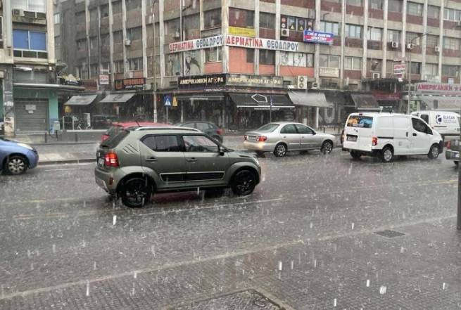


Heavy rains, thunderstorms and hail are expected in Greece over the next 24 hours, as EMY warns about in a special bulletin.
A similar warning from the Met Office said that a cyclone moving rapidly from offshore areas north of Libya towards southern Turkey would affect the weather in Greece from the afternoon of Wednesday 12/20 until the evening of Thursday 12/21. The level of precipitation on Thursday 21/12 is classified as category 3.
The virtual map shows the expected progress of the cyclone over the coming days.
Virtual map showing rain and thunderstorms in Greece
According to the latest forecasts from meteo.gr / National Observatory of Athens, from the afternoon of Wednesday 20/12 there will be rain in the southern Ionian Sea, Central Greece, Peloponnese, Crete and the eastern Aegean Sea, which will rain on the night of Thursday 21/12 spread to Thessaly, the rest of the Aegean, southern Macedonia and Thrace. From midday on Thursday 21/12 the rain will be limited to the eastern, central and southern Aegean, Crete and the Peloponnese and will weaken.
Thunderstorms with the possibility of sporadic hail will occur in the Southern Ionian, Central Greece, Peloponnese, Crete and the Aegean Sea, limited to the East and South Aegean Sea from midday Thursday 21/12.
In Attica, showers and thunderstorms are expected from the afternoon of Wednesday 20/12 to the afternoon of Thursday 21/12.
According to the classification of precipitation episodes (regional precipitation index) applied by the meteorological department of the National Observatory of Athens, the precipitation episode on Thursday 21/12 is classified as category 3 (moderate). The wind in the Aegean Sea will not exceed 6-7 points, while in the Ionian Sea it will reach 4-5 points in some places. The air temperature will not undergo significant changes.
Temperature
More Stories
Hurricane with rain and hail hits Thessaloniki (video)
Wild boars are on the loose in Nafpaktia
The number of forest fires in Greece has increased by 22% since the beginning of 2024