


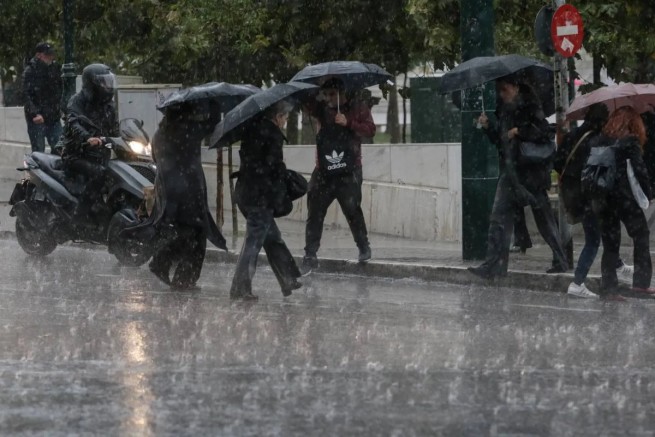
According to the National Meteorological Observatory of Athens, the weather in Greece will worsen sharply from Monday afternoon (11/03).
In particular, rains and storms are coming, perhaps locally bad weather will hit Epirus and the northern part of the Ionian Sea (Corfu – Paxos region) from midday, and in the evening it will manifest itself “in all its glory” in western Sterea and central Macedonia. However, temperatures are expected to rise again.
Detailed weather forecast from EMY. General characteristics.
In western central and northern Greece it will be cloudy with some localized rain, which will become more intense. And from midday in the northwest and gradually in other areas there will be thunderstorms. There will be light snow in the mountains in the north. The rest of the country will have partly cloudy skies turning to cloudy weather.
Weather conditions favor the transfer of African dust mainly to the west and south of Greece.
The wind is southerly, with strength from 4 to 6 points, at sea – up to 7 points on the Beaufort scale.
The air temperature will rise and reach +17-19°C, and locally in the center and south of Attica +21-22°C.
More Stories
Wild boars are on the loose in Nafpaktia
The number of forest fires in Greece has increased by 22% since the beginning of 2024
Bad weather again, with African dust and storms