


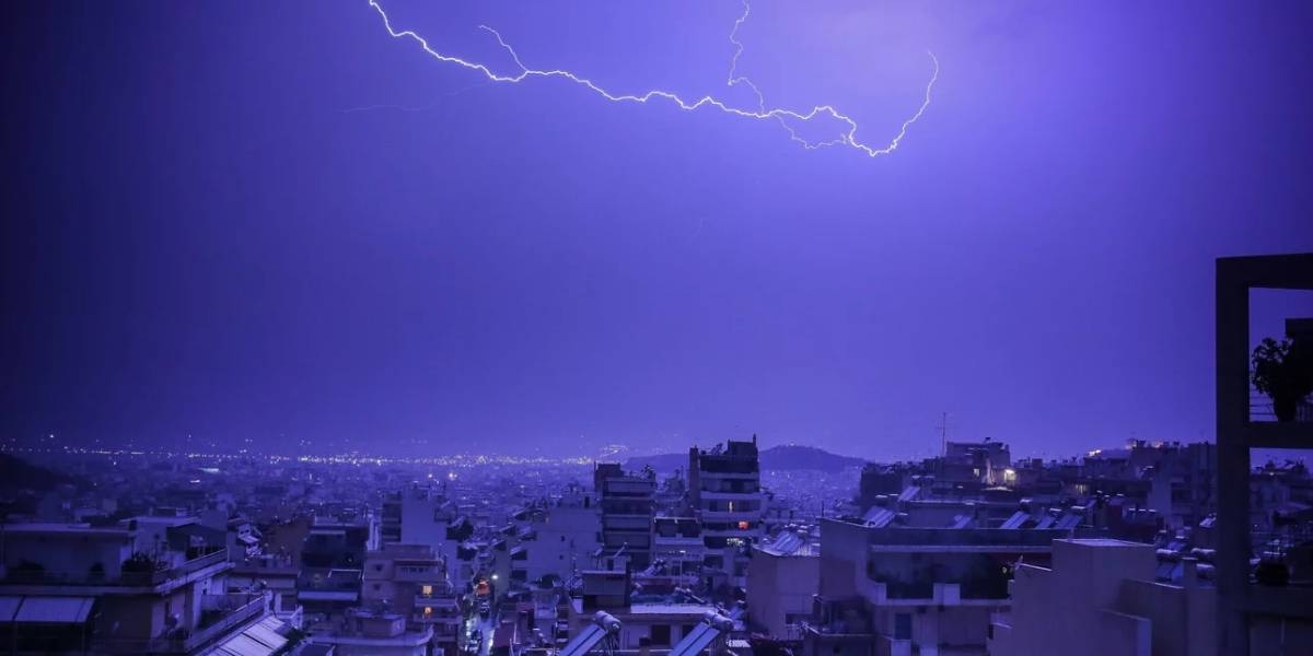
It was too early to rejoice that spring had come. According to meteorologists, the weather will change dramatically in the coming hours.
The National Meteorological Service has begun updating the emergency weather bulletin published yesterday. According to EMY, from today (March 15) until noon on Friday (March 17), the weather in our country is expected to worsen with heavy rains and thunderstorms, which will be accompanied in places by a high frequency of lightning, possibly hail and strong winds.
In more detail, where rains and storms will be observed:
A. Wednesday (March 15)
a) from the early morning hours in the Ionian Sea, Epirus and western Sterea, and from the noon hours in the western Peloponnese. From late evening the phenomena will weaken.
b) from daytime hours in the eastern islands of the Aegean and from late evening in the Dodecanese.
B. Thursday (March 16)
a) before noon on the islands of the northern and eastern Aegean.
b) from noon with intervals in the Cyclades and Crete.
c) in the Dodecanese early in the morning and continue the next day.
C. Friday (March 17) before noon in the Cyclades, Crete and Dodecanese.
Weather forecast by regions, according to EMY: today (March 15) in our country the weather is expected to worsen with local rains and sporadic storms – first in the west, and then gradually in the rest of the country. Bad weather manifestations will be strong in the regions:
a) from the early morning hours in the Ionian Sea, Epirus and western Sterea, and from the noon hours in the western Peloponnese. From late evening the phenomena will weaken.
b) from daytime hours in the eastern islands of the Aegean and from late evening in the Dodecanese.
In the continental highlands of the central and northern country light snow falls. Wind south-west direction from 4 to 6 on the Beaufort scale. From noon it will change to western and northwestern. The air temperature will drop slightly and will be +13-14°С in the north of the country, and +16-18°С in the rest of Greece.
ATTICA
Weather: Partly cloudy, which will intensify in the afternoon, with occasional showers and thunderstorms. Improvement is expected in the evening.
Wind: southwest 3 to 4, changing to south 5 to 6 Beaufort. In the evening it will change direction to the west, northwest, from 4 to 5 points on the Beaufort scale.
Air temperature: from +07 to +18°C.
THESSALONIKI
Weather: Cloudy with occasional showers and storms.
Wind: Southeast 3 to 4 Beaufort, changing from late evening to north.
Air temperature: from +05 to +14°С.
Wind: Southeast 3 to 4 Beaufort, changing from late evening to north.
Temperature: 05 to 14°C.
Meteorologist Clearchos Marousakis emphasized that strong weather manifestations, hail or even tornadoes (water) are coming. Heavy snowfall not only in the mountainous regions, but also in the foothills of the northern part of the country. Also noted a significant drop in air temperature, predominantly in the central, eastern and northern regions.
More Stories
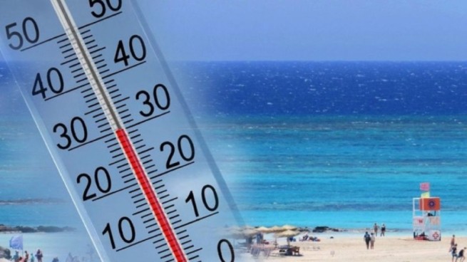
Weather forecast: air temperature approached +30°C
Flamingos appeared on the beaches of Vouliagmeni and Artemis
A 3.5 meter long shark was spotted in the port of Volos