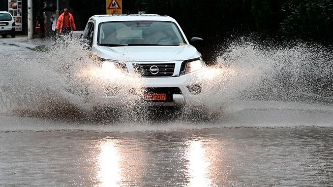
The front of bad weather that hit Greece with showers, hail and snowfall will continue on Friday. According to the forecast National Weather Servicein the coming hours is expected “hit» in Thrace, the Cyclades, the islands of the Aegean and the Dodecanese.
Snow will fall in the mountainous regions of Thessaly, Epirus and the western part of Central Greece, in the mountains near Kalavryta. After today’s snowfall on Parnit, meteorologists suggest that snow in the mountains near Athens may repeat on Friday, which will lead to some decrease in temperatures in the capital, especially in the evening and at night.
Weather in ATTICA
On Friday, January 27, meteorologists promise cloudy weather, in some places rains, mainly on the coast, separate storms until noon. The wind is variable, from 3 to 4 on the Beaufort scale. Temperature from 6°С to 12°С during the day and from 2°С to 6°С at night.
On Saturday, January 28, meteorologists promise better weather. Wind is variable, from 1 to 3 on the Beaufort scale. Temperature 6-13°C during the day and 2-8°C at night.
On Thursday, the network of automatic weather stations of the National Observatory of Athens/meteo.gr recorded significant precipitation and storms in Attica, with the highest (cumulative) amount of precipitation observed in Viliyawhere it equaled 68 mm. In other regions of the country, the most precipitation was recorded at the weather station Krokes in Laconia, where it amounted to 146 millimeters.


More Stories
D. Sariyannis: “We expect African dust in mid-May”
Dust from the Sahara: first results of analysis of chemical components
Lyrid meteor shower, make a wish on a shooting star