


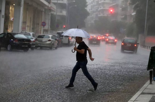
The wave of bad weather that has affected most of the country continues. Until the morning of Saturday 4 November, significant amounts of rain fell in the Ionian Islands, as well as in areas of the western and northern mainland of the country.
The weather was most severe right in the morning in the mountainous areas of Trikala prefecture (Pertouli, 122 millimeters of precipitation fell) and in the mountains of Arta prefecture (Teodoriana, 108 millimeters of precipitation).

According to the latest forecast from meteorologists, rain and storms will gradually spread across mainland Greece, as well as in the island parts of the North and East Aegean Sea.
Showers with hail are expected, and in the afternoon hours of 4/11 weather disasters will be limited to the north-eastern regions of the country. The weather is expected to improve by the evening. The forecast map shows the approximate geographic distribution of cumulative precipitation.
In Attica cloudy, rain expected. The concentration of African dust in the atmosphere will increase. Southerly wind intensity of 5-6 points, in some places 7 points on the Beaufort scale. In the afternoon, the wind will change to the west and weaken to 4-5 points. The air temperature will fluctuate from +22 to +26°C.
In Thessaloniki storm and showers. The concentration of dust in the atmosphere will increase. Wind from the south at force 4-5 on the Beaufort scale. In the afternoon it will change to the west and weaken to 3-4 points. The air temperature will fluctuate from +19 to 23°C.
More Stories
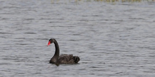
Black swan in the Evros river delta
The weather will turn bad on Good Friday
Crete "shaking" – two earthquakes this morning