


The National Meteorological Service of Greece EMY announced in Sunday red menace level having warned about very heavy rain and storms in the next 3 days.
“Red Alert” is the highest level of danger that is issued to warn of dangerous and extreme weather events.
The weather is predicted to worsen from Monday, September 4 to Wednesday, September 6, 2023.
Heavy showers and thunderstorms are predicted, accompanied by hail and frequent lightning, increased winds and a noticeable drop in temperature.
⚠️ ΕΚΤΑΚΤΟ ΔΕΛΤΙΟ ΕΠΙΚΙΝΔΥΝΩΝ ΚΑΙΡΙΚΩΝ ΦΑΙΝΟΜΕΝΩΝ
✅Yψηλά επίπεδα βροχοπτώσεων με μεγάλη διάρκεια σε Θεσσαλία, Σποράδες, κεντρική και ανατολική Στερεά, βόρεια Εύβοια και Πελοπόννησο.
✅ΤΟ ΚΕΙΜΕΝΟ : https://t.co/T4PBDpYwQL
✅Η ΑΝΑΛΥΣΗ ΕΠΙ ΤΟΥ ΕΚΤΑΚΤΟΥ : https://t.co/5NxWiR4T8U— Theodoros Kolydas (@KolydasT) September 3, 2023
URGENT WEATHER HAZARDS High rainfall with long duration in Thessaly, Sporades, central and eastern MIDDLE Greece, northern Evia and Peloponnese.
Ενημερωθείτε με τα αναλυτικά προγνωστικά δεδομένα ανά 6 ώρες από την @EMY_HNMS pic.twitter.com/UYlfC9aKpV
— Theodoros Kolydas (@KolydasT) September 3, 2023
According to forecasts, the cyclone, which came from the north of the Balkans with cold air masses, will move south, to the southern part of the Ionian Sea, and will affect most parts of the country.
The greatest amount of precipitation will fall in Thessaly, Sporades, central and eastern Sterea, in the north of Evia and the Peloponnese, emphasizes EMY.
EMY WARNING
Heavy rain, thunderstorms and storms
Monday, September 4
- From noon in western and central Macedonia and early in the morning in eastern Macedonia and Thrace. From late in the evening, the apparitions will be limited to central Macedonia, mainly in the prefectures of Pieria and Imathia.
- From 10-11 am in Epirus, Thessaly, Sporades and gradually on the Ionian Islands, Sterea and Evia, incl. and by 2 pm in Athens, having passed Attica from north to south.
- Since noon in the Peloponnese, mainly in the west and north.

Tuesday, September 5
- at times before noon in Epirus, the Ionian Islands, western Sterea and western Peloponnese
- in central Macedonia (mainly in the prefectures of Pieria, Imathia and Halkidiki), Thessaly, Sporades, central and eastern Sterea (mainly in the prefectures of Evrytania, Phthiotis and Boeotia and temporarily in the prefecture of Attica, mainly in its western and northern parts), Evia (mostly in the north), eastern and southern Peloponnese and western Crete
- from noon to evening in the western Cyclades and the islands of the northern and eastern Aegean.
Wednesday, September 6
In Thessaly, in the Sporades, in the central and eastern Sterea (mainly the prefectures of Eurytania, Phthiotis and Boeotia), in the north of Euboea, in the east and south of the Peloponnese, in the west and south of Crete.
In the evening, intense weather events will weaken, with the exception of the areas of Thessaly and Sporades, where they will continue until Thursday morning.
Winds
Strengthening of the northeast winds with an intensity of 7-8 points, in the northern part of the Aegean Sea from Monday evening 4-9-2023 to Tuesday evening 5-9-2023.
Temperature drop
From Monday 4-9-2023 in the Ionian and continental regions, the air temperature will noticeably drop from north to south by 6-8 degrees Celsius.
FIRES IN EUROS
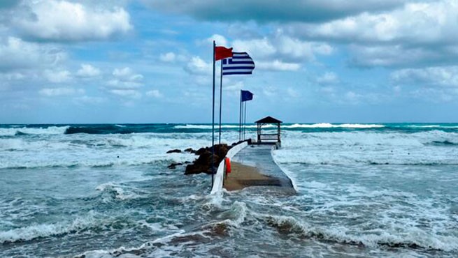
Now the whole country is expecting rain, including in the Evros region in northeastern Greece, where forest fires are raging for the 16th day in a row (Sunday, September 3).
Τα τελευταία προγνωστικά στοιχεία του Εθνικού Αστεροσκοπείου Αθηνών/meteo.gr δείχνουν ότι η χώρα μας θα είναι πιο βροχερή περιοχής της Ευρώπης την πρώτη εβδομάδα του Σεπτεμβρίου.
Αξιόλογες βροχοπτώσεις προβλέπονται και στον Έβρο την Τρίτη 5/9. pic.twitter.com/DUh6mQ7l9c— meteo.gr – Ο καιρός (@meteogr) September 3, 2023
More Stories
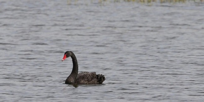
Black swan in the Evros river delta
The weather will turn bad on Good Friday
Crete "shaking" – two earthquakes this morning