


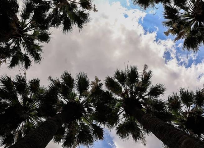
Summer weather has already returned, the thermometers are rising again, but new bad weather is approaching, still representing a “mystery”.
By forecast meteorologist Clearchos Marousakis, after a temporary improvement in the weather caused by the disappearance of cold weather and rain, Next weekend, September 7-8, we are expecting bad weather again. Severe weather events will come from the Central Mediterranean and affect the western regions of the country. Clearchos Marousakis warns:
“The duration and dynamics of this phenomenon will become clear in the coming days, as there is strong instability in the forecasts.”
Today is expected Clear skies with scattered clouds in the Ionian and continental regions. Clouds will become thick in the afternoon, with local rain and isolated storms, mainly in the west. Visibility will be locally limited in the morning hours.
Wind variable and weak, northerly in the seas, from 3 to 4 points on the Beaufort scale, in the Aegean Sea – up to 5 points. Temperature will not change significantly and will reach 32-34°C in the continental and Ionian regions, 35°C locally in Thessaly and central Macedonia. In the rest of the island country, the temperature will reach 30-31°C.
In Attica clear, with some clouds, cloudy in the afternoon and possible local rain in the west. Wind variable, from 3 to 4 points on the Beaufort scale. Temperature from 23°C to 33°C.
In Thessaloniki partly cloudy weather, from midday to evening the clouds will become denser, local rain possible in the surrounding mountains. Wind variable, from 3 to 4 points on the Beaufort scale, in the afternoon southerly with the same intensity. Temperature from 21°C to 33°C.
More Stories
Water Spout in Halkidiki
Supreme Court calls for "vigilance" in relation to those who "uses water illegally"
Destructive weather hits Meteora: floods, rockfalls, landslides