


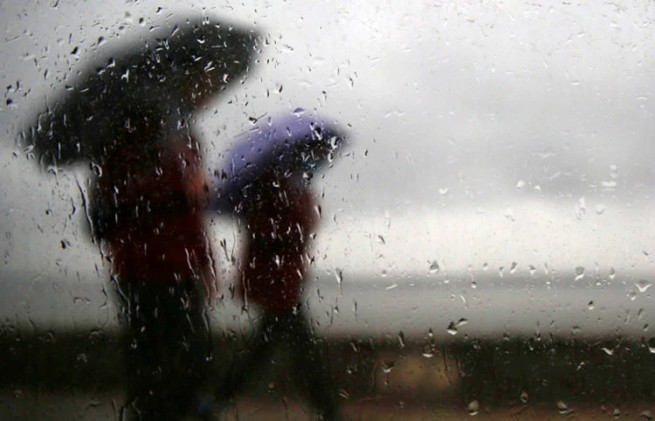
Cold air masses from Ukraine will bring thunderstorms and rain to Greece next week, with unstable weather expected.
In his post on the X platform, EMY director Thodoris Kolidas noted that adverse weather conditions will affect continental areas more, there is a possibility of heavy precipitation:
“From next week onwards, the country will experience greater instability with local rainfall or storms, mainly in the afternoon in continental areas. Cold air masses that will change the weather pattern will come from the north-east, in particular from Ukraine, where they will pass over our region via the Black Sea – such circulation is currently not so common. If cold masses were to come from the Central Mediterranean, they could cause more precipitation.”
EMY offers a detailed weather forecast for the next few days:
Saturday, August 24. Clear weather with occasional clouds during midday and afternoon hours in western and northern continental areas. Wind northern: in the west from 3 to 5 points, in the east from 4 to 6 points, in the Aegean Sea in places up to 7 points on the Beaufort scale.
Temperature will not change significantly and will remain at high levels. It will reach 36–38 on the mainland, 36–37 in the Dodecanese and southern Crete, 32–33 in the rest of the island country and locally 35–36 in the Ionian Islands and the eastern Aegean islands.
Sunday, August 25th. Mostly clear weather with occasional clouds in the north. Temporary clouds will appear in the central, western and southern continental regions during midday and afternoon hours, with local rain and showers in the mountains.
Wind northern, from 3 to 4 points, in the Ionian Sea locally up to 5 points, in the Aegean Sea from 4 to 6 points and in places up to 7 points on the Beaufort scale, with a slight weakening in the afternoon. Temperature will decrease slightly and reach 35–36 on the mainland, 33–34 in the Ionian Sea, 31–32 in the rest of the island country, locally in the south of Crete and the Dodecanese 33.
Monday, August 26. Clear skies with occasional cloud cover and local rain in the Ionian Sea. Sporadic storms in the western and central continental areas. Wind northern: in the west from 3 to 4 points, in the east from 3 to 5 points and in the Aegean Sea from 4 to 6 points on the Beaufort scale, with gradual weakening in the evening.
Temperature the air temperature will drop a little more and reach 33–34 on the mainland, 31–32 in the Ionian Sea, 29–30 in the island part of the country, and locally in the Dodecanese and southern Crete 32.
Tuesday, August 27. Clear but with increased cloudiness in Thrace, central and eastern Macedonia and the northern Aegean. Therefore, in the morning hours, light rain will fall in northern parts of Thrace, Chalkidiki and eastern Thessaly. Cloudiness will develop at midday and in the afternoon over the rest of the mainland, the Ionian Sea and Crete, where there will be local rain and isolated storms in the mountains.
Wind West, from 3 to 4 points on the Beaufort scale. In the east, the north wind, from 3 to 5 points, and in the Aegean Sea in places 6 points on the Beaufort scale, weakening from midday. Temperature will decrease slightly, mainly in the south.
Wednesday, August 28. Clear weather with scattered clouds in the morning, followed by light rain. In continental areas, local rain or showers will occur from midday, as well as sporadic storms, mainly in the mountains, with the weather improving towards evening.
Wind west, 3 points on the Beaufort scale, from midday will change to northwest with the same intensity. In the east from 3 to 4 points, in the Aegean Sea in places up to 5 points on the Beaufort scale. Temperature will not change significantly.
More Stories
Water Spout in Halkidiki
Supreme Court calls for "vigilance" in relation to those who "uses water illegally"
Destructive weather hits Meteora: floods, rockfalls, landslides