


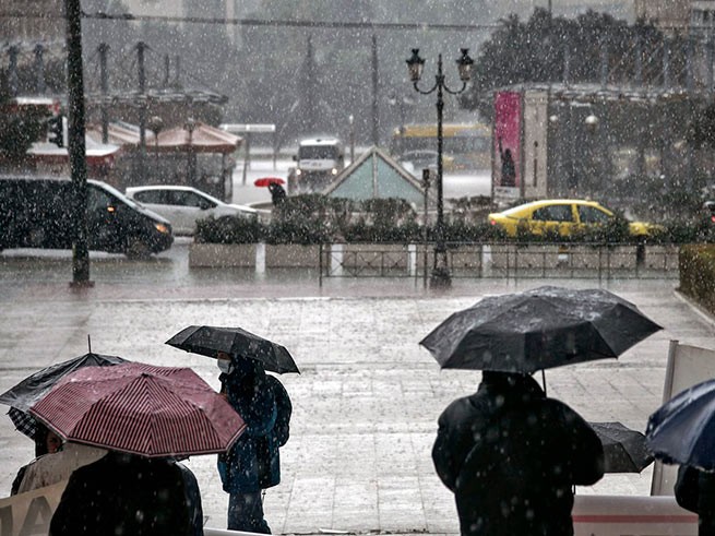
The Greek National Meteorological Service EMY issued on Tuesday emergency bulletinwarning of worsening weather with heavy rain and storms.
According to meteorologists, a bad weather front will hit the country from the evening of Tuesday, November 21, starting from the western regions. On Wednesday, the southern part of the country, as well as islands in the eastern Aegean Sea, will be hit by bad weather.
📌Δύο διαταραχές θα επηρεάσουν τη χώρα μας αυτή την εβδομάδα . Η πρώτη την Τετάρτη και η δεύτερη το Σαββατοκύριακο.
⚠️ Το μεσημέρι θα εκδοθεί προειδοποίηση για το πρώτο σύστημα που θα επηρεάσει την Τετάρτη κυρίως τα δυτικά, το ανατολικό Αιγαίο & τα Δωδεκάνησα .@GSCP_GR @EMY_HNMS pic.twitter.com/RARadbPcEY— Theodoros Kolydas (@KolydasT) November 21, 2023
Video prepared by Theodoris Kolidas, Director of the National Meteorological Service of Greece
SEVERE WEATHER WARNING
Heavy rain and thunderstorms are forecast:
Tuesday, November 21
From late evening: Western Greece, more precisely the Ionian Sea, Epirus and western Sterea.
Wednesday, November 22
Ionian Sea, Epirus, western Sterea, western Peloponnese, islands of the eastern Aegean and Dodecanese, capital region of Attica.
Partly cloudy until afternoon: southern Peloponnese, western Crete and Cyclades. From noon the eastern regions of Thrace.
During the night from Wednesday to Thursday (23-11-23) the intense weather conditions are forecast to weaken.
In Athens, according to forecasts, there is a thunderstorm forecast for the morning of November 22nd, temperature in the morning is 9-10°C, in the afternoon up to 21°C. Low windy weather, with gusts of wind during thunderstorms. During the day the rain will be repeated several times. The weather will improve on Thursday afternoon. However, rainy weather will return again on Saturday.
More Stories
Weather forecast: rain and storms in Athens and Thessaloniki on Saturday
Thodoris Kolidas explains the phenomenon "black sky" on Good Friday
Black swan in the Evros river delta